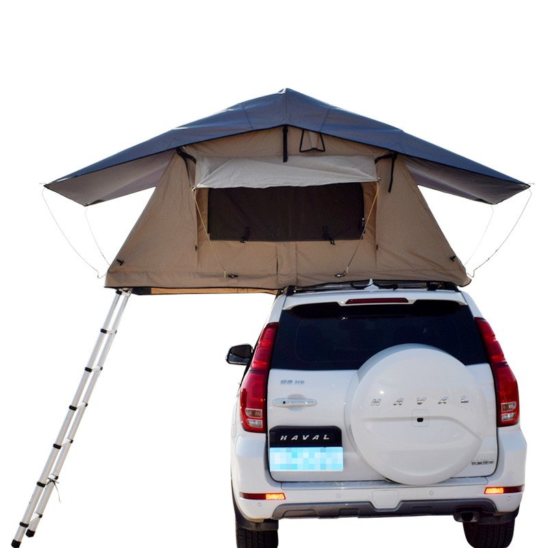
As a Roof Top Tent Suppliers, I would like to share with you how to identify directions in the wild.
1. Use natural features to determine direction
In the absence of topographic maps and compasses and other equipment, learn to use some of the characteristics of nature to determine directions.
First of all, the sun is the most reliable “north needle”.
We know that the sun moves from east to west, while the shadow moves from west to east. For example, at 6 o’clock in the morning, the sun rises from the east, and the shadows of all objects fall to the west; at 12 o’clock at noon, the sun is located due to the south and the shadow points to the north; at 6 o’clock in the afternoon, the sun is due to the west and the shadow points to the east . Therefore, the direction can be roughly determined by the shadow of the sun and objects. As the saying goes: “Immediate results”, use a pole (straight pole) to make it perpendicular to the ground, and place a stone on the vertex A of the pole shadow; about 10 minutes, put another piece when the vertex of the pole shadow moves to B The stone connects the two points A and B into a straight line. The direction of this straight line is the east-west direction. The direction perpendicular to the AB line is the north-south direction. The end facing the sun is the south, and the opposite direction is the north.
Determine the direction according to this method. The higher the plunger, the thinner, the more perpendicular to the ground, and the longer the shadow moves, the more accurate the measured direction. Especially around 12 noon. For example, the shadow lengths at 11:30 and 12:30 are almost the same. The line of the vertices just points to the east-west direction, and the vertical line of the line can also point out the north-south direction more accurately.
The earth rotates 360 degrees in 24 hours and 15 degrees in one hour. The hour hand of the watch always turns twice as fast as the sun. Based on this principle, the position can be roughly measured with the watch and the sun. At 6 o’clock in the morning, the sun is in the east and the shadow is pointing to the west. At this time, point the hour hand on the watch to the sun, and the “12″ on the dial will point to the west. If the dial is turned 90 degrees, it will be half at 6 o’clock, making the “3″ on the dial. “” is facing the sun, “12″ is pointing to the north; at 12 noon, the sun is in the south, and the 12 is folded in half so that the “6″ on the dial faces the sun, and the “12″ still refers to the north.
Determine the direction according to this method, taking into account the local time difference. The Beijing time should be converted to local time. Based on the 120-degree east longitude line, add one hour to Beijing time for every 15 degrees east of longitude, and subtract one hour from Beijing time for every 15 degrees west, which is the local time. For example, the geographic coordinates of Urumqi is 87 degrees 40 minutes east longitude, then (120°-87°) ÷ 15° = 2 hours and 9 minutes, and the Beijing time minus 2 hours and 9 minutes is the local time in Urumqi.
The above two methods cannot be used in summer in Chiayi, Taiwan, Nanao Island in the northeast of Shantou, Guangdong, Wuzhou in Guangxi, and Gejiu in Yunnan, south of the Tropic of Cancer (23 degrees 27 minutes north latitude).
Our company also has Roof-Top Tent on sale, welcome to contact us.
Post time: Jun-02-2021


